


Le Chirat Le Bâcha. Rosillol La Rivoire.

psesjs
User
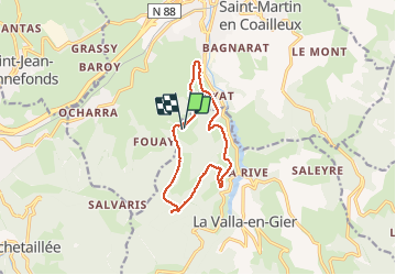

Length
11.6 km

Max alt
1007 m

Uphill gradient
559 m
Km-Effort
19.1 km

Min alt
471 m

Downhill gradient
551 m
Boucle
Yes
Creation date :
2020-12-09 09:22:52.294
Updated on :
2020-12-09 12:26:44.959
2h44
Difficulty : Medium

FREE GPS app for hiking
 SityTrail
IGN / Geographical institutes
SityTrail Plus
The world is yours!
About
Trail Walking of 11.6 km to be discovered at Auvergne-Rhône-Alpes, Loire, La Valla-en-Gier. This trail is proposed by psesjs.
Description
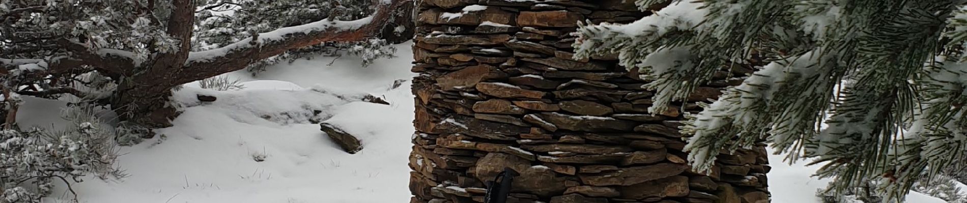
C'est le Pilat!!!
Photos


Positioning
Country:
France
Region :
Auvergne-Rhône-Alpes
Department/Province :
Loire
Municipality :
La Valla-en-Gier
Location:
Unknown
Start:(Dec)
Start:(UTM)
617091 ; 5032520 (31T) N.
Comments